Why One-Click Flight Apps Can Ruin Your Surveys

Takeaway: One-click flight apps are less accurate, more prone to accidents, and more expensive. Every drone comes with its own native flight app, and there are many high-quality drone-agnostic apps on the market for additional customization. Rather than letting a software provider dictate how you fly your drone, it’s better to understand the tools in your toolkit and how to use them to get the best return on investment.

With a third-party automated flight app, you press one button and fly. Feels almost like a dream, right?
But the dream is often better than reality.
Here’s the problem: one-click flight apps are typically more prone to accidents, less accurate, and are often unnecessarily expensive.
While there might be some cool factor in a one-click flight, it’s not all it’s cracked up to be. Here’s why.
1. Don’t pay for what you get for free
Every major manufacturer—DJI, Skydio, Parrot, Autel, and more—has built-in, free flight apps for their drones. These apps are built for more basic use cases and require some pilot skill to navigate, but they are often sufficient.
If you’re not experienced with drones or need highly-nuanced custom flight paths, apps like DroneDeploy can help you build the flights that make sense for your use cases.
The broader point is that you don’t need to lock into one design platform’s chosen flight app—those often cost far more and don’t give you control over your machine. Instead, opt for the apps that are either purpose-built for the drone or give you total control.
2. One-click flights may end up on the wrong property
When you use a one-click flight that’s pre-set by a design platform, you are forced to follow their flight planning. That is typically address-based—but in many rural areas, such as the Midwest, areas of Texas, or even some regions of densely populated states like Florida, addresses can simply be wrong.
You might actually arrive on-site, click the flight button, and notice the drone going to the wrong property!
The problem only gets worse from there because you can’t do a manual takeover—you’re forced to wait until it finishes, then plan another truck roll (with a different drone, you can fly yourself).
Even if the address is always perfect, you could still run into issues with software update lags. This means your drone could lack features or be out of commission for some time.
3. One-click flights are more likely to collect inaccurate data

One-click flights are built to cover as much ground as possible, meaning they often rely on top-down “lawnmower” style flight paths very high in the sky, which can lead to inaccurate measurements and skew.
A top-down photo gives you the X and Y axis, but not height (the Z axis). However, real solar designs require the Z axis of everything on the property, so designers conduct a manual process in CAD to estimate the height of the roof, the pitches, and angles, as well as calculate multiple rooflines.
This also poses an issue with shading analysis because tree heights are estimated.
4. One-click flights have more opportunities for accidents

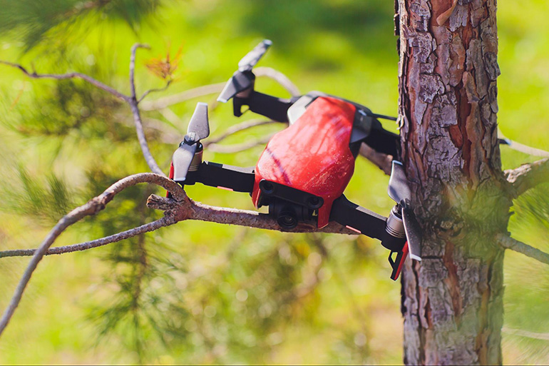
When you fly a push-the-button-and-go automation, you’re at greater risk of the drone hitting trees, getting run over by cars, or having issues with neighbors who aren’t sure what’s going on.
There’s also a trend where some Surveyors opt not to get a Part 107 license, thinking they don’t need licensing for automated flights.
First, this is a potential legal issue, as Part 107 licenses are required to fly drones for commercial use cases. But second, there’s a further risk of issues because you don’t go through the few hours of training required to get the license, so you may not know how to get out of a potential accident.
Know the tools in your toolbox
With the free apps available in every major drone, and high-quality, drone-agnostic flight apps like DroneDeploy, it’s not worth getting locked into a single, expensive flight app.
Even if you are new to drones, the existing flight apps can help you set up a point-of-interest flight so that all you need to do is set up, take off, and manage landing after the fact. The result is higher-quality data that eliminates revisions, ensures fitment, and makes the whole project smoother.
At the end of the day, it’s about knowing the tools in your toolkit. It may sound cool to push a button and forget about the drone, but you’re using an expensive piece of equipment in a boring and inefficient way. Instead, spend a bit of time learning how to use drones as a valuable solar surveying measurement tool—you’ll not only get far better results, you’ll have a lot more fun.
Sponsored Content by Scanifly
